 |
 |
 |
||
 |
 |
 |
||
| Mt Diablo | Dublin? |
 |
 |
 |
||
| Tied down and ready to spend the night at KPAO! |
 |
") |
 |
||
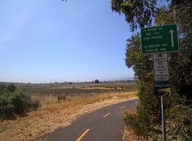
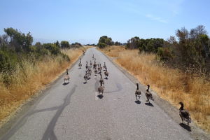
| Riding the awesome bike path to work | Geese blocking the bike trail! One of them even hissed at me :) |
 |
 |
 |
||
| Work! |
 |
 |
 |
||
| Biking to the airport from the office |
 |
 |
 |
||
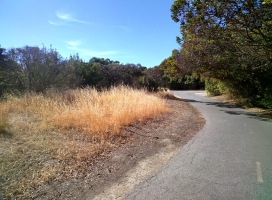
| Bayshore trail is pretty! | Cool biker sculpture | Switching transportation from one extreme to the other |
 |
 |
") |
||
| CHP helicopter taking off from PAO | Looking back towards the bay (west) |
 |
 |
 |
||
| Golf course greenery.. and San Francisco/Oakland fog in the background | Highway 680 from the air | Mt Diablo at 11 o'clock with 680 on the left |
 |
 |
 |
||
| Mt Diablo | More Mt Diablo |
 |
 |
 |
||
| Wind farm below |
 |
 |
 |
||
| Sacramento. Right in the middle is Sacramento Executive airport, which was my first cross-country solo! | Auburn airport at the bottom/center |
 |
 |
 |
||
| Auburn | I-80 underneath/on the left | Blue Canyon airport / I-80 |
 |
 |
 |
||
| I-80 | And Truckee! | Back in the hangar! |